
Rural and coastal flood resilience
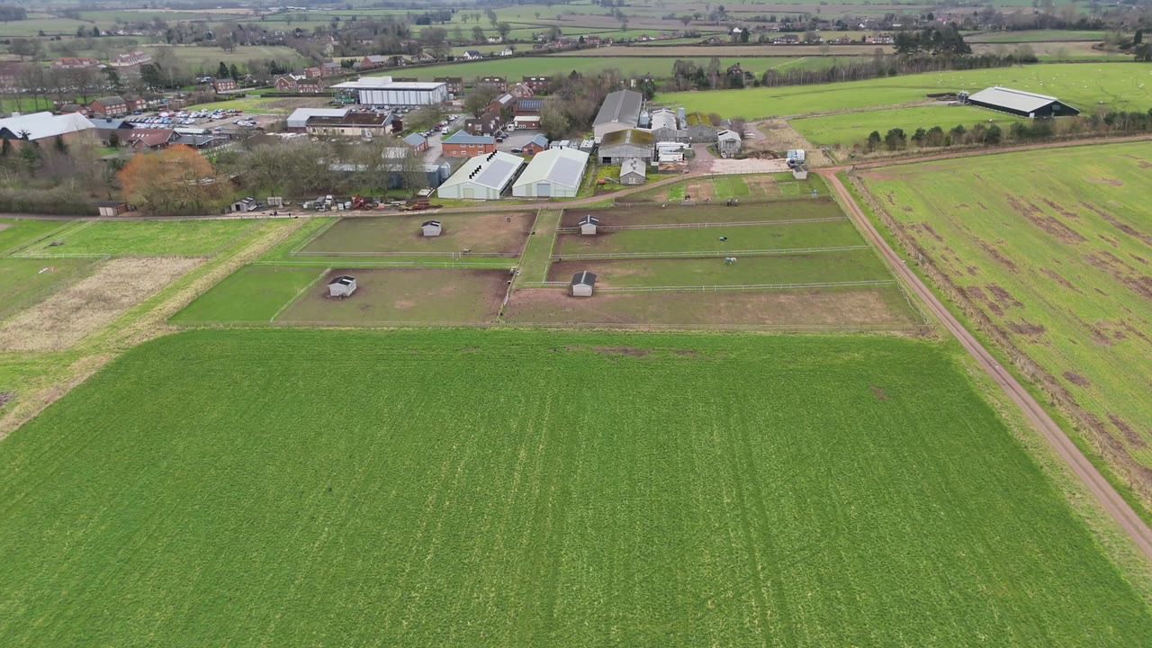
Researchers: Dr Kanthu Joseph Mhango
Flood risk is often compressed into a single headline measure, even though river, coastal and surface-water processes expose communities differently and demand different combinations of protection, warning, preparedness and recovery support. This project uses spatial data science to keep those mechanisms distinct.
Scientific challenge
Rurality is not itself a causal explanation for flood risk. Settlement pattern, population density, access to services, income, health, flood history and protection interact with the physical source and severity of flooding. National datasets also differ between jurisdictions and products, while nearby communities share catchments, coastlines, infrastructure and unmeasured spatial context. Naive comparisons can therefore confound geography, social circumstance and flood process.
Research architecture
The programme integrates national hazard and damage assessments with small-area demographic, accessibility, warning and protection information. Data engineering resolves differences in spatial units, product coverage and definitions before analysis. Outcomes are constructed to distinguish physical damage, locally dominant flood source, wider community impacts and conditions associated with difficult recovery.
Spatial statistical models account for residual similarity among neighbouring places rather than treating every census area as independent. England and Wales are analysed within their own data-generating contexts, and comparisons are framed as adjusted associations rather than universal causal effects. The analytical design emphasises traceability: every headline interpretation maps back to a defined outcome, population, spatial model and sensitivity check.
Intended contribution
The work demonstrates how high-resolution environmental data and social evidence can be combined without collapsing distinct risks into one index. Its purpose is to help partners target source-specific resilience measures and recognise where severe exposure coincides with limited recovery capacity.