
Precision destoning with ground-penetrating radar
Researchers: Dr Kanthu Joseph Mhango
Destoning is routinely applied as a field operation, yet the burden of subsurface stones is spatially heterogeneous and difficult to observe at useful intensity. This project reframes the task from detecting isolated objects to supporting an operational decision: where does the subsurface condition justify intervention?
Scientific challenge
Ground-penetrating radar is attractive because it is non-invasive and depth resolved, but soil radargrams are dominated by the air-soil interface, antenna coupling, attenuation and complex scattering. Stones do not produce one universal signature because light scattering depends on burden, depth, moisture, material contrast and spatial arrangement, so a high-throughput system must extract stable evidence from transformation of the wider electromagnetic wavefield.
Research architecture
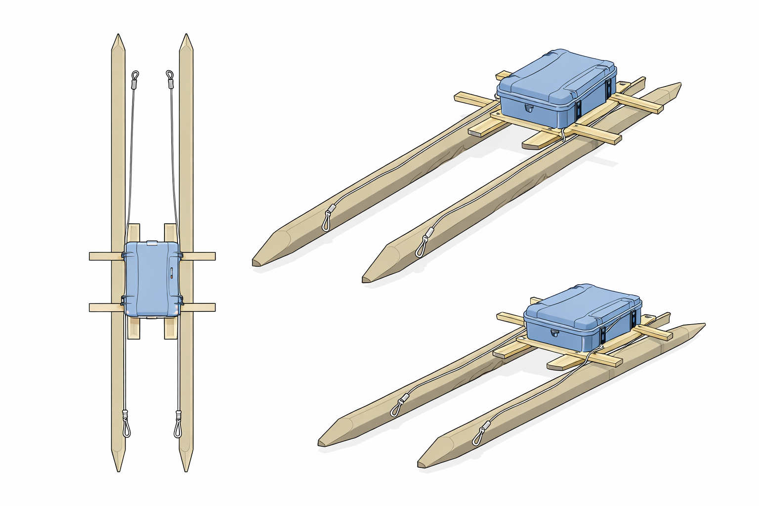
Controlled field experiments pair known subsurface conditions with repeatable radar acquisition. The scanning platform constrains antenna trajectory and orientation while minimising electromagnetic interference from its supporting structure. Processing separates the soil domain from shallow acquisition artefacts and organises the remaining signal into physically meaningful depth intervals.
Feature families were chosen to capture complementary mechanisms like distributional shape, anomalous reflectivity, depth-integrated energy, redistribution of energy through the soil profile and lateral coherence among neighbouring traces. Statistical learning and machine learning then test whether these physically interpretable summaries support robust management classes under strict train-test separation across physical configurations.
The programme is designed to progress from controlled calibration to spatial field mapping, uncertainty-aware decision thresholds and eventual integration with variable-depth or spatially selective operations. It combines sensor engineering, soil physics, signal processing, geospatial data and AI within one decision-centred workflow.
Intended contribution
The goal is precision destoning that limits unnecessary soil disturbance and machinery cost while preserving a traceable physical basis for every recommendation. Detailed performance estimates and tuned feature sets are reserved for the associated research outputs.