
Photogrammetric alignment and digital-twin fidelity
Researchers: Callum Barnsley; Dr Kanthu Joseph Mhango
The contemporary structure-from-motion photogrammetry pipelines for landscape-scale mapping do not produce one inevitable reproducible reconstruction of a scene. Alignment strategy, camera optimisation and filtering choices propagate into the geometry of point clouds and meshes, often revealing failure only after substantial computation or when a user enters the finished digital environment.
Scientific challenge
Visual plausibility is not the same as geometric fidelity, such that a model may look convincing from a distance while containing warped planes, unstable edges, missing structures or locally inconsistent scale. This matters for digital twins used in measurement, simulation, asset production and immersive systems, where downstream decisions assume that reconstructed geometry is trustworthy.
Research architecture
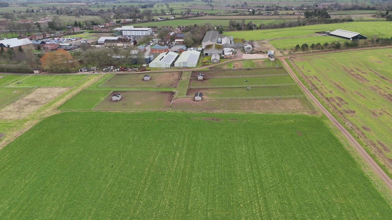
The project uses accurately positioned drone imagery and a programmatically controlled photogrammetry workflow to reconstruct the same scenes under systematically varied alignment strategies. Reproducible orchestration through the processing API turns settings, diagnostics and intermediate products into a structured experimental dataset rather than a collection of manually produced models.
Quality is evaluated computationally across complementary geometric behaviours including camera consistency, reprojection behaviour, point-cloud density and completeness, planar stability, edge preservation and agreement among repeated reconstructions. Machine learning is then used to ask whether early-stage diagnostics and processing choices can predict expensive downstream failures. This creates a route towards automated triage, local defect detection and, eventually, parameter recommendation.
Immersive rendering provides an additional stress test in this work. Moving through reconstructed environments exposes scale inconsistency and spatial incoherence that can be difficult to detect in conventional static inspection.
Intended contribution
The longer-term goal is an intelligent photogrammetry pipeline that reports not only that a reconstruction completed, but where it is credible, where it is uncertain and whether another processing strategy is warranted.