
Carbon mapping for the Sustainable Farm Network
Researchers: Megan J. Lewis; Dr Kanthu Joseph Mhango; Lucy Bates
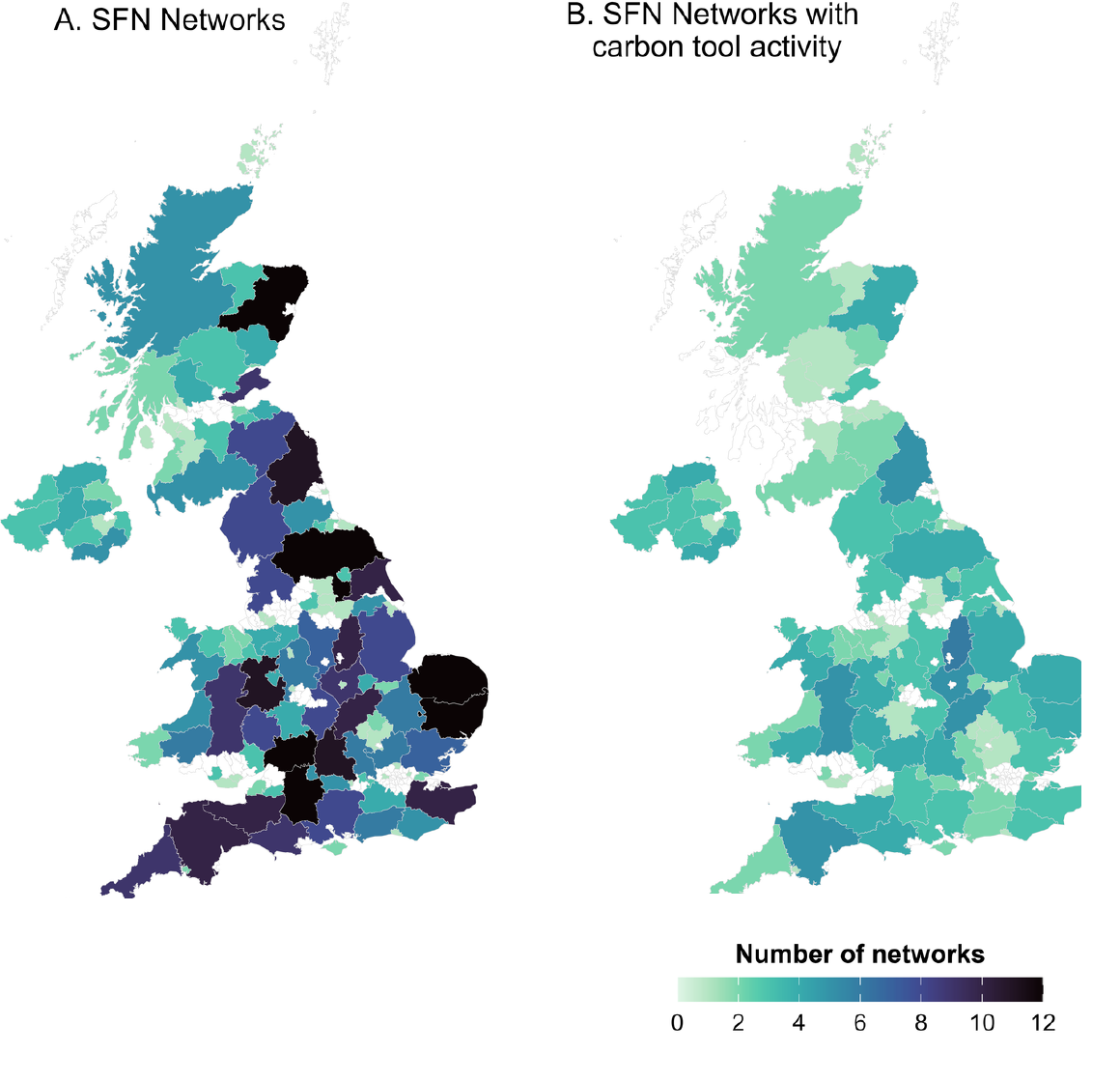
This project uses spatial data science and network analysis to examine how agricultural support organisations create pathways through which carbon-accounting tools and advice can reach farmers. It focuses on the enabling system around farm carbon assessment rather than estimating carbon stocks or emissions for individual farms.
Research problem
Farm carbon assessment depends on more than access to a calculator. Tools differ in their assumptions and information requirements, while farmers often rely on trusted intermediaries to interpret outputs and connect them with practical decisions. Agricultural networks span overlapping geographies, so understanding the wider support landscape requires attention to relationships among organisations, places and advisory activity.
The project treats this delivery system as an analytical object. It asks how the reach and overlap of agricultural networks shape opportunities for carbon-accounting support, where shared learning may be possible, and what evidence would be needed to study change over time. The work is designed to inform future engagement without identifying individual farms or disclosing unfinished organisation-level findings.
Analytical approach
The research combines mapped participation information with structured survey evidence in a reproducible spatial and network-science workflow. Geospatial mapping establishes broad patterns of reach, while graph-based analysis represents connections and overlap without collapsing organisations and places into a single category. Statistical comparisons are designed to distinguish potentially meaningful structure from patterns that could arise through geography or differences in organisational reach alone.
The analytical stack brings together spatial statistics, network modelling, uncertainty-aware inference and regularised machine learning. Sensitivity analysis across alternative representations and geographic scales is built into the workflow. Current evidence is cross-sectional, so observed relationships are treated as exploratory rather than as proof of diffusion or causal influence; future longitudinal information will be needed for stronger causal questions.
All analysis is being developed as a reproducible data product, allowing the team to refine definitions, update evidence and test alternative assumptions without exposing record-level data or relying on presentation graphics as an analytical source.
Intended contribution
The project is developing a defensible framework for studying carbon-accounting support as a coupled spatial and organisational system. Its purpose is to help frame future evaluation, reveal where additional evidence would be most valuable and support collaboration among networks, tool developers and researchers. The same analytical architecture can be extended to other agricultural technologies whose effective use depends on advice, demonstration and peer learning.